(January 15 – written by Dave)
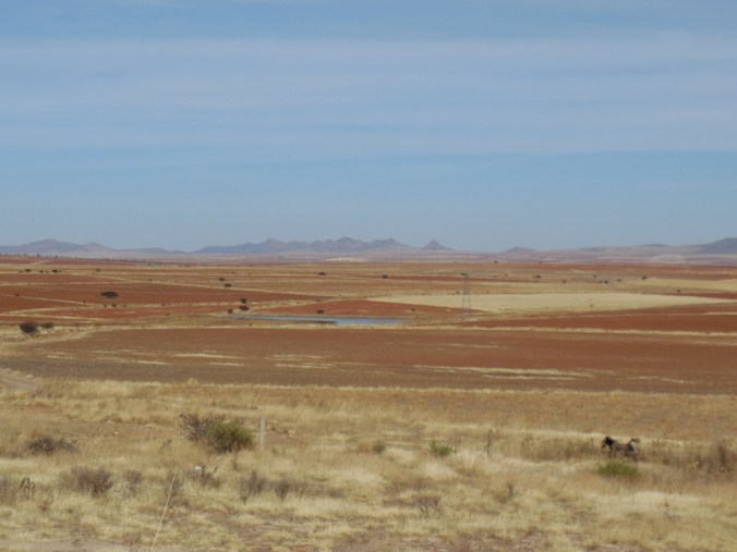
Today was another good day on the Central Mexican Plateau. The Central Mexican Plateau, also known as the Mexican Altiplano, is a large arid-to-semiarid plateau that occupies much of northern and central Mexico. We dropped onto the Plateau when we crossed the Sierra Madre mountains into Durango. It’s pretty high up, averaging 1,825 m (5,988 ft) above sea level. We’ll be on the Plateau until we are south of Mexico City. Scenery is nice, mostly distant mountain vistas with wide open plains that stretch for miles
We had brekkie in the room after a pretty good night’s sleep and schlepped all our gear back downstairs -the bikes were safe overnight locked up in the lobby. The night man was still about having slept on a cot right next to our bikes.
Riding on a plateau sounds like something that should have been flat but for us the day was anything but flat. In fact we had were basically riding uphill for the first 24 kilometres. It was cold again starting out but the uphill meant that we were stripping layers of clothing off almost from the start. Progress was slower today with all the uphill. In the first 10 miles we passed into our fifth Mexican state, Zacaretas. We’ll be in this state for the next 3-4 days.

Morning mesa
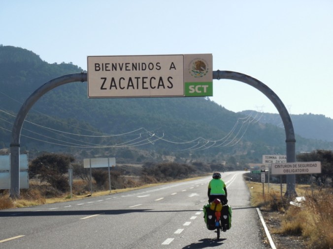
State 5
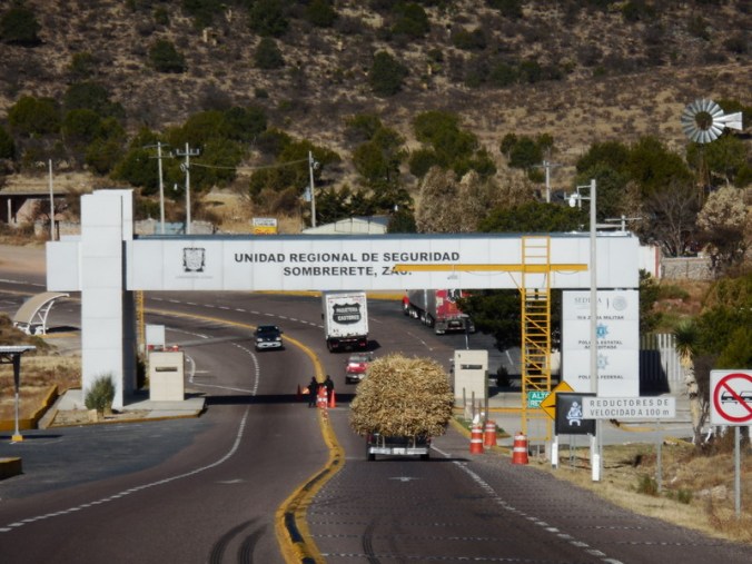
Bug inspection station
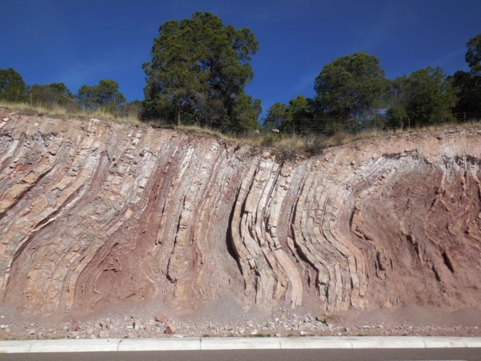
Amazing rocks in the road cut
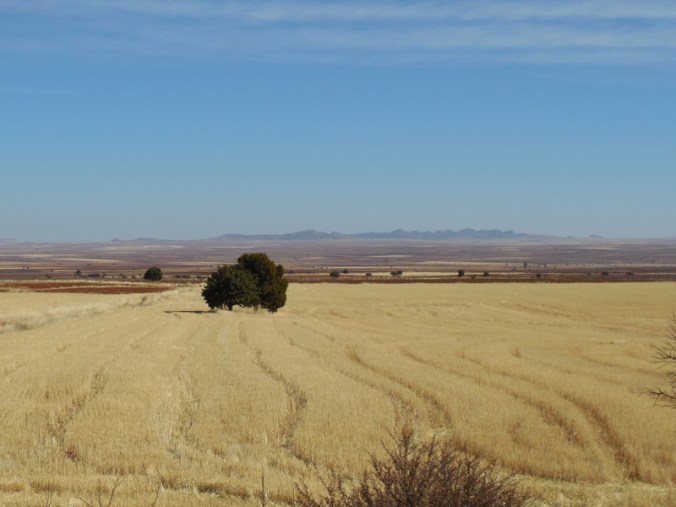
The Central Mexican Plateau
Even though we were climbing, the views were nice – lots of distant mountains. We sort of topped out the climb near the entrance to a small national park. There was once again no summit sign. We then had rolling terrain until the turn off to Sombrerete. We could have ridden around town on a new by-pass but were concerned that there would be no food stops – there were none at the first junction. We rolled down into Sombrerete and had lunch at Oxxo on a nice counter right in front of our bikes.
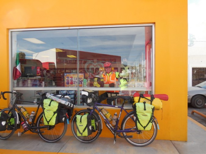
Oxxo lunch stop
After lunch we had to climb back out of Sombrerete back to the highway but it was warm now and we were full of energy. We had thought that it would be all downhill once we got back up to the main road but were made to work for the finish with some more rolling terrain. The wind was sort of behind us which made it nicer. The big distant views continued giving us the chance to stop for photos at the top of a few of the rollers.
More distant views
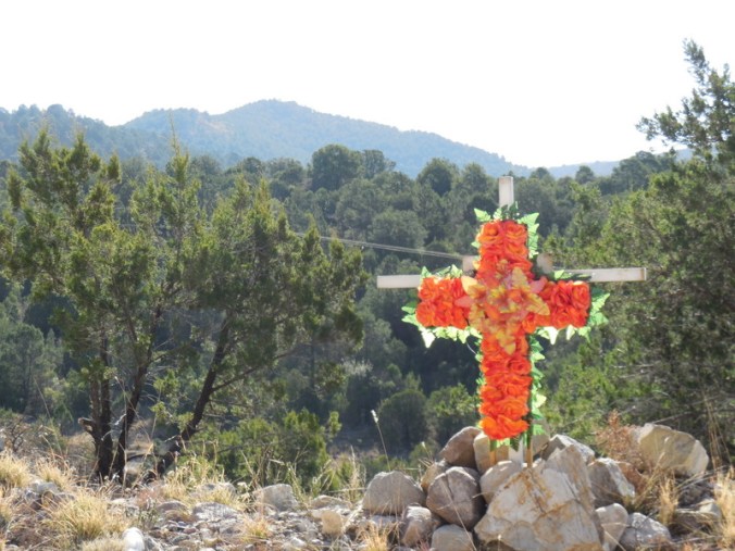
Not all the views are nice…
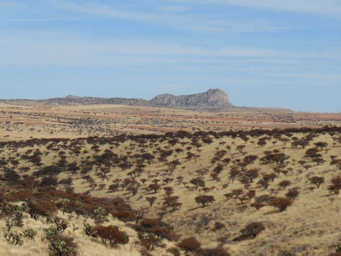
Out of Africa – or at least it looked like it
We reached Sain Alto and its famous arch about 2PM (ok, maybe not that famous but it was nice to reach here). We stopped for snacks and made our way to the only hotel in town. We have a room for $15, with two rooms, a kitchen (with no appliances) and a bathroom. I think it’s really a building built for one bedroom apartments that is now operating as hotel. It’s cold again and now that the sun has set, it’s really cooling off (it’s January and we are at over 6,000 feet after all!). The room is cold already so I think we are in for a cold night. Time to break out the down jackets.

The arch (or arches)
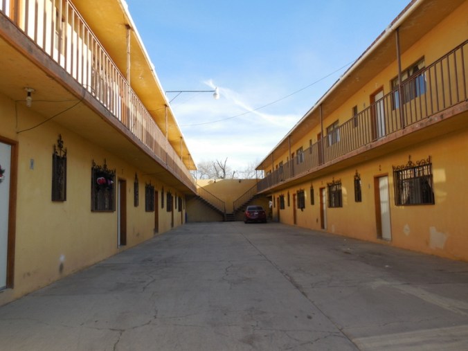
Our fancy hotel

TV and Sky box – powered via adapter in light socket
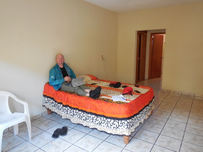
Yup, fancy – we’ll sleep in the other room tonight
Dinner is in the room again tonight. We have to make use of the kitchen after all. Tomorrow we are headed for a slightly bigger town, 100,000-person Fresnillo. We only have to ride about 60k to reach there so hopefully we can get a place in the centre and use the extra time to have a look around.

Looks like you have a shoulder on the highway and in the two pictures of the highway the blacktop looks smooth. If it weren’t for hills the day would have been perfect, smooth roads and a tailwind! You need to come up with a point system to rate the hotel rooms, toilet seat, clean sheets, TV, warm vs cold, an area to cook, etc… And I’d like to see a few leg pictures to keep me motivated me to ride in the cold, wet weather!
Yes, Highway 45 had a great shoulder so far, probably 4 feet. And it is pretty smooth.
I’ll see about digging up our room rating scale from the last trip, worth a re-post.
See the next day for leg photos. Hope they help
Great landscape pics! Not what I would have expected to see. Nancy, We wish you a happy Birthday tomorrow with a great ride, wonderful meals and terrific lodging !
Yes yes yes – doing my job – Dave
Hope your birthday was MEMORABLE!! Great lodging! Any birthday cake?