Mazatlan (0K/8483K)
(January 5 – written by Nancy)
Our extended ‘vacation’ in Mazatlan is almost over – tomorrow we restart our journey south. We’ve enjoyed our time here, relaxing and exploring the town a bit. It’s warm
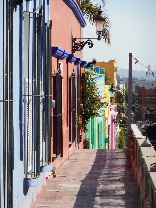
Mazatlan is a relatively large city, over 425,000 people, and is quite spread out. We are staying in the Centro Histórico, or Old Mazatlán, section of the city. The old town section is full of great old buildings, many that have been refurbished in bright colours, cobblestone streets that wind around, and lots of cafes and restaurants. We were lucky to get a room at a fairly nice hotel area using points on our credit card. It is quite comfy, which is nice, but I fear it will mean that the return to ‘normal’ accommodation for this trip will feel even more of a shock!
We have spent our days here mostly just wandering about, soaking in the sights and enjoying the old city area. Today we ventured out a bit further and made a trip to the area called the ‘Golden Zone’, where most of the big resorts are located. It is quite a different world over there and not really to our taste, though we did have some great huevos rancheros at a cafe and even indulged in a coffee at Starbucks – I expect that may be the last one we see for some time.
We headed over to the Golden Zone to check out a book store that advertised that they had maps – but of course, when we got there they had no maps at all. Maps seem to be in short supply here but we’ll keep trying. Dave has a road atlas that he tears pages out of for his handlebar bag, but I only have a large map of the mainland, which, as you can imagine, doesn’t provide much detail. Dave did find a couple of random maps of the state we are currently in one of the local Oxxo stores but we passed on them as we’ll only be in this state for a day after we leave Mazatlan. Hopefully we can find similar ones for the other states as we make our way inland.
While the overall direction we are headed is south, we first head due east up to Durango on the infamous “Espinazo del diablo” or Devil’s Backbone. It’s about 320km from here to Durango on the old road but we go from sea level here to over 9000 feet before descending a bit to Durango so it will likely be a tough re-entry to the trip. We will probably take 4-5 days to do it, depending on how we feel and what kind of accommodation we can find. The old road used to be the primary road but in the last couple of years the government built a new toll road with some apparently amazing bridges and tunnels so most of the traffic takes that new road. We have read about several cyclists who have done the old road and all have said the views are some of the best they have ever seen so we are looking forward to it (there, doesn’t that sound positive..?).
Actually, despite some trepidation it will be good to get back on the road and into our cycling routine, making some ground on the route south. We still don’t have a concrete plan for Central America and will wait until we get a bit further down the road to see what our options are.
Below are some pictures of our time in Mazatlan. We’ll start our daily updates again tomorrow, subject to mobile coverage as always.
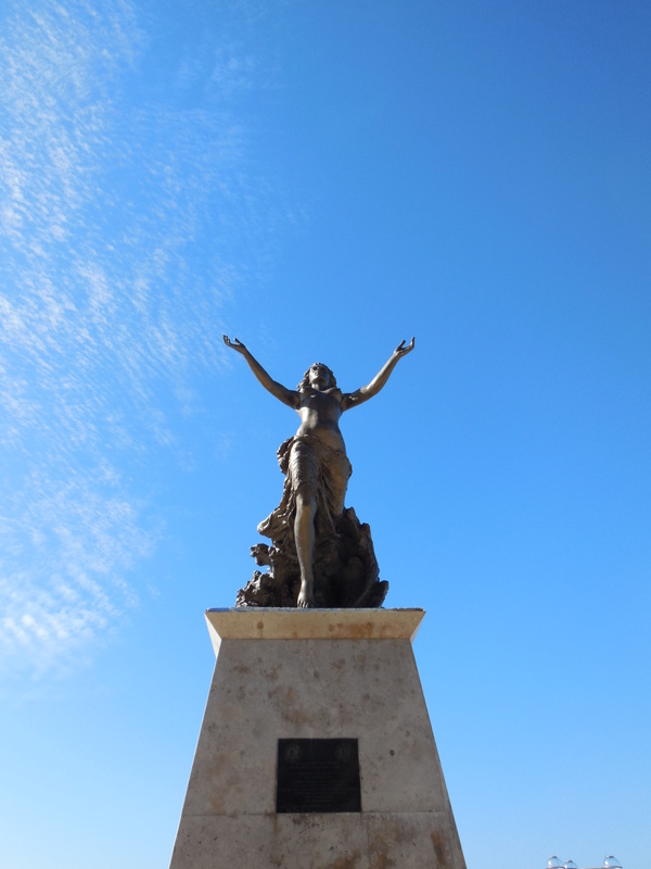
Monumento a la Mujer Mazatleca
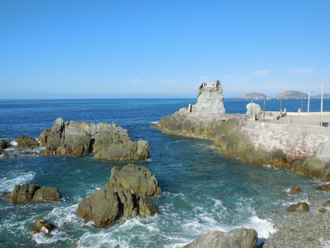
Mazatlan shoreline

Mazatlan shoreline
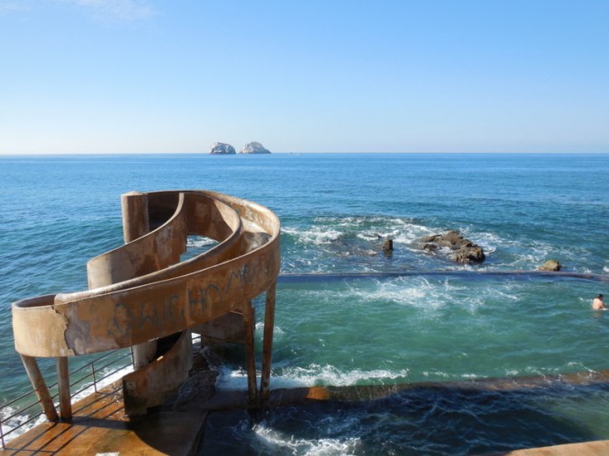
Mazatlan seaside pool
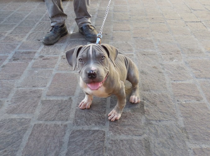
3 month old super friendly local
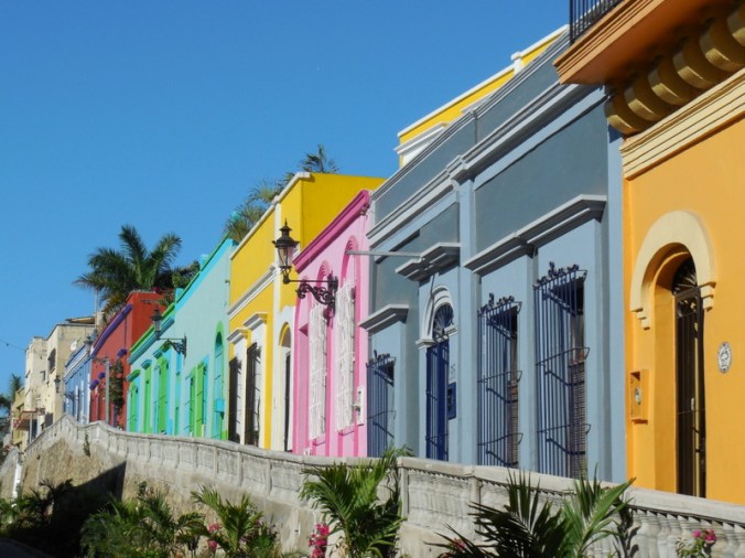
Old-town colour
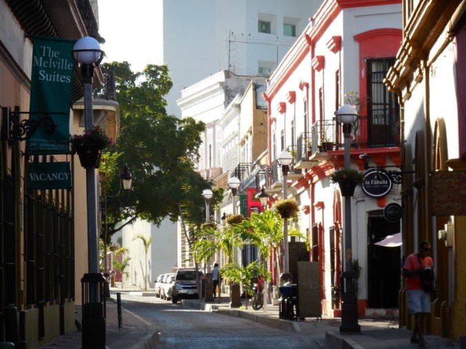
Old-town building

Old-town building
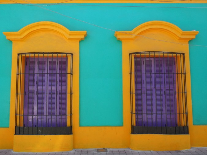
Great paint
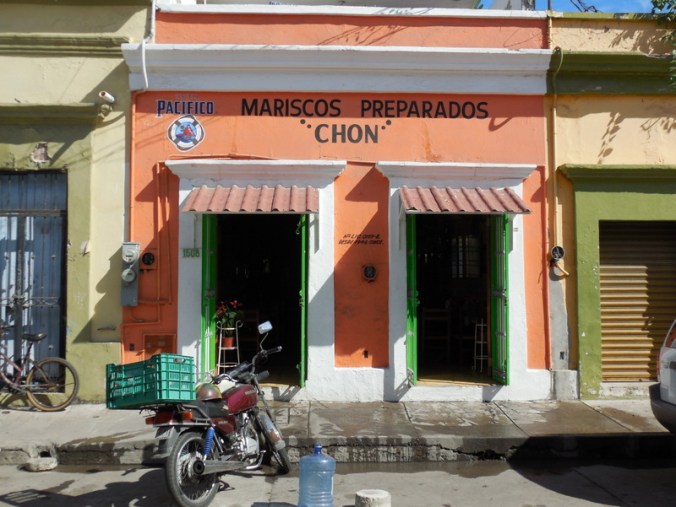
Seafood anyone?

Old-town building
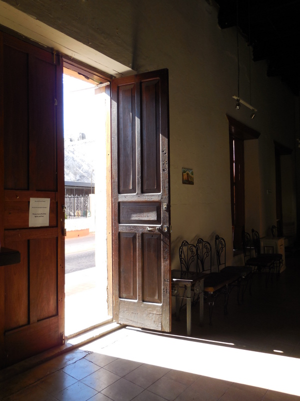
Inside one of the old buildings
More colour

Old-town at night
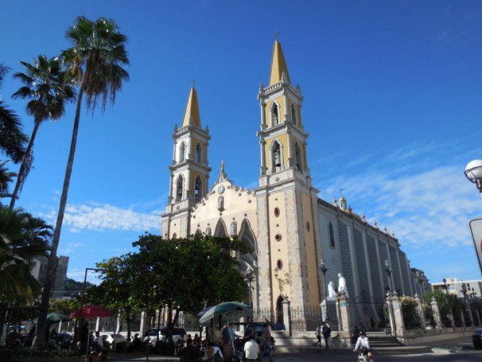
Basílica de la Inmaculada Concepción
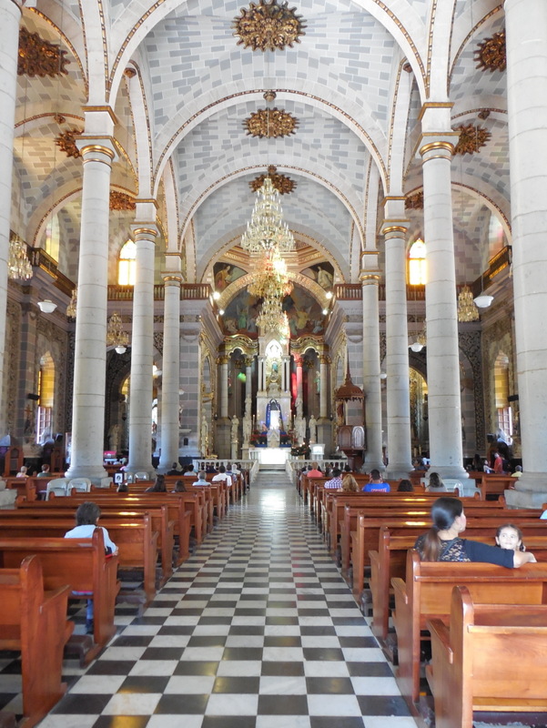
Basílica de la Inmaculada Concepción
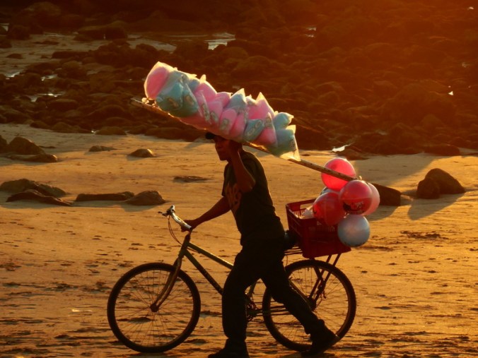
Heading home after a day selling on the beach
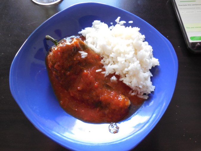
Lunch – chili rellenos – yum

We may not see the Pacific again for a while
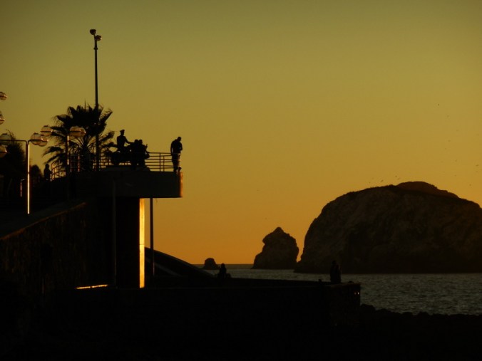
Fading Pacific light

Does a GPS give good detail of small roads for Central and South America?
Not sure… We don’t have one. We use Google maps and it is pretty good with roads and distances. It sometimes is way off on the elevation gain/loss. We tried a GPS but found that Google maps was more accurate than the GPS we tried (way back in 2010). We also try picking up local paper maps when we can.
Please be safe.
Thanks – we will – thanks for thinking of us.
Wonderful pictures! We are in Hawaii right now. .. taking a break from reality… this is one of our first vacations with no plans and no biking. I look forward to reading about your ride to 9000 feet elevation!
Have a great break you guys!
Greetings from Atlanta from Tatum and Pam! Enjoy the ride! We’re having fun!
Have fun – go Ducks – no wait, they aren’t playing 🙂