Written by Dave
Day 14 – June 11 – 62 Miles, 1,965 feet climbing (Council to Riggins)
Council RV and Bike camp was a wee bit noisy overnight. It turns out that a bunch of the permanent residents work some sort of construction and had a long day. They didn’t return until well after dark. Even though it was late, they felt obligated to start a fire and chat about the day’s activities – we think. Whatever they were chatting about, they weren’t quiet. Ah, life on the road is glamorous.
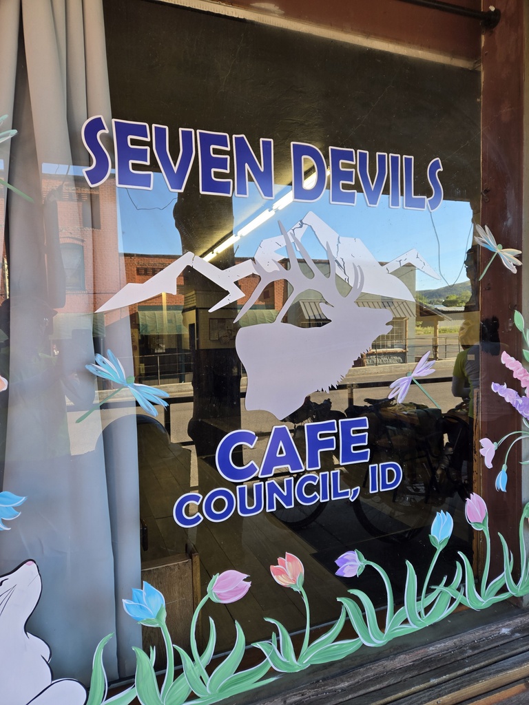
We agreed to try getting out of camp early and hitting the local greasy spoon for brekkie – Seven Devils Cafe for brekkie. We were slowed by very wet tents from the overnight dew but we arrived at the diner by 7:40. We were the only customers for a while. The blue plate brekkie special of eggs, hash browns and pancakes was more than adequate. Council is a kind of depressed town. Many of the shops are closed and a good number of the homes a bit run down. I’m glad we stopped and made an “economic contribution”, however small it was.

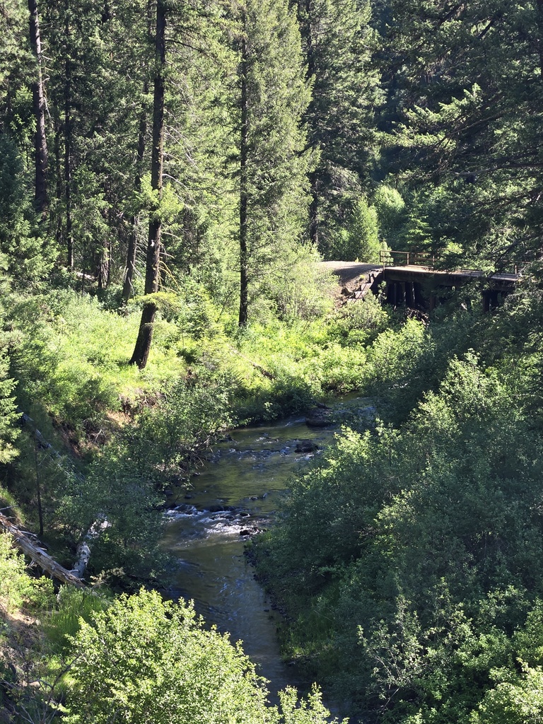
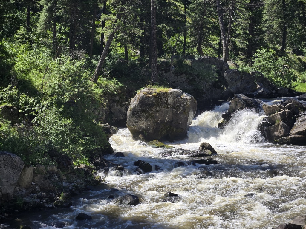
Everyone was a little apprehensive about more riding on Highway 95 today and for good reason. The first 24 miles were more or less uphill, there was very limited shoulder and there were quite a few big trucks. We rode in tight formation (except for the steep parts) and called out all the passing traffic. We only had to bail off the road at one pinchy point. The scenery along the Weiser River was nice, when we felt safe enough to look at it.FI
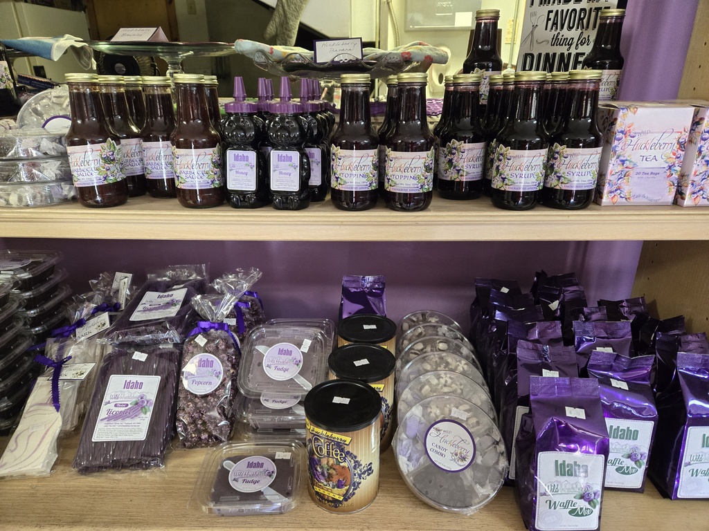
At 16 miles we stopped at the Huckleberry Bakery for a snack (how can you pass a bakery with huckleberry in its name). They were not open but the owner leaned out his upstairs residence and offered us cold water. We didn’t need to be asked twice. The water was nice but the free road advice was even more appreciated. He knew that we were on the Transamerica route and told us of a steep canyon with a narrow road that was coming up just after New Meadows. We made note – local knowledge.

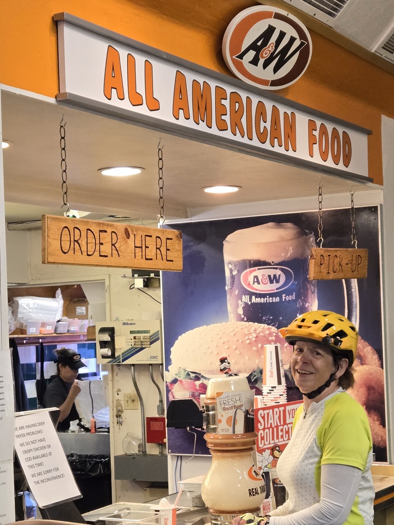
At 24 miles we reach New Meadows and pulled into a servo for an early lunch. The servo had, of all things, a mini A&W restaurant and grill. We had hotdogs, figuring they were safe. Chris had a burger, figuring it would be tasty. Both of us were correct. We even got a frosty A&W root beer – how can you pass that up?
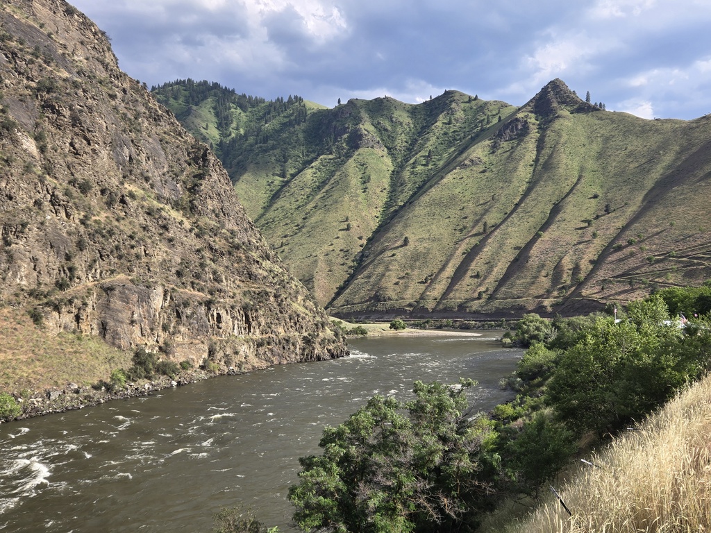
We had about 8 miles to ride to reach the supposed sketchy section of road. To get there we rode through a nice open valley where the Highway 95 shoulder was nice and wide. Just as forecast by the Huckleberry Bakery owner, at the head of the Little Salmon River canyon, the road narrowed significantly. Traffic, on the other hand, almost disappeared. And to boot, we had a ripper tailwind. We flew down the 1-2% grade averaging close to 25 MPH for a good 20 miles. Pete and Curtis set new PBs for a 40k timed route on their cycle computers. We think that traffic was light mostly because we hit this section at the lunch hour, but whatever the reason, we all thoroughly enjoyed Highway 95 for the better part of an hour. So much for fearing the highway…


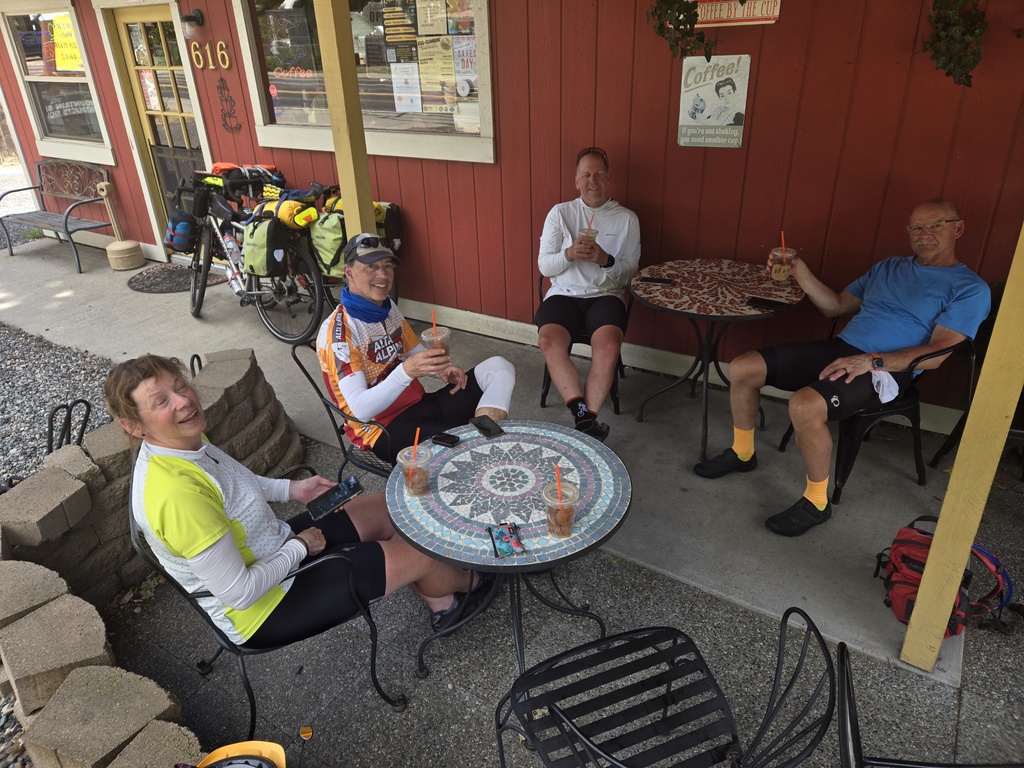
We arrived in Riggins at about 1:30, too early to check-in to our hotel but before the coffee roaster across the street closed at 2PM. We celebrated our good fortune on Highway 95 with iced coffees and relived what turned out to be a ride that was much more fun than we anticipated.

We are staying at the Riggins Motel – it is not fancy but new owners are fixing things up and it’s better than setting the tent up in the dodgy looking RV park we saw coming into town. After showers and laundry we walked down the highway to the Seven Devils Restaurant – no apparent relationship to the place where we had brekkie. Pete and Inge had “the best hamburgers of their 1993 trip across the USA” at the Seven Devils Restaurant and though we assume that the cook may have changed, tonight’s meals were tasty as well. Pete says that his burger was good, maybe not best of trip, but good all the same.
For the record, we did not see the Seven Devils as you can’t see them from Highway 95. Seven Devils are craggy peaks, located in west central Idaho in the Hells Canyon Wilderness. They are above the east bank of the Snake River, which forms the Idaho-Oregon border. And apperntly, it is popular to name things after them.

Speaking of mountains, tomorrow we get to climb the famous White Bird Hill. I used to drive Highway 95 going to and from college in Moscow and home in Carson City. I’ve never stopped in any of these towns mainly because I was always trying to drive .5 MPH less than the speed at which I would get a ticket – trying to get to point B as fast as possible. I’ve driven White Bird Hill at least a couple dozen times. I often thought that it would be a nice climb to try on my bike. Well, tomorrow I finally get to give it a go – all 2,800 feet of it. I’m not sure that everyone in our party is excited as I am but I’m sure we’ll handle it just fine. We are taking the old highway, which is supposed to have about a car an hour. We should be able to savor every fine traffic-free inch, right Chris?

We have stopped at Riggins when we have been rafting the Salmon river. We have also eaten at the sevens devils restaurant. Hope you get quite roads for tomorrow.
First time I stopped in Riggins – interesting small town with the river bringing outdoors folk to mix with the crusty locals…
A good end to your day! Enjoy the Whitebird climb. It should be nice after all the traffic you dealt with today. I remember our favorite burger being in Mitchell but everything tastes good after a long day of riding.
Same trip, different memories, happens to us all the time
Looking ahead at your route last week, The words “He Devil” caught my eye. It struck me as an odd name for a mountain, so I took a closer look on Google Maps. It is part of a conspiracy of seven devious peaks named She Devil, the Imp, Devil’s Throne, etc. The peaks circle a large basin of Alpine lakes. Should you feel overwhelmed by the forces of evil, fear not; Heaven’s Gate is right up the road.
Thanks Scott, good info. We enjoyed reading more after your pointers.
I have to say, I look forward to the daily blog entries. They are so entertaining, plus knowing most of the team (is that the right word? Gaggle? Crew? Squad?) keeps me interested. I spend time looking up the places on Google Maps to follow along.
I wish you all the best on the big trip, it sounds like you are working hard, but having fun as well. Please make sure Nancy gets her necessary quantity of pancakes!
Thanks Mike, we’re having a blast so far…
Now that we have finished climbing up White Bird hill I can respond to Dave… While riding up “old hwy 95” I was treated to beautiful views, fresh air and just one car!
Traffic had to be way better than when you and Laura did the ride