Written by Dave
Day 77 – August 13 – 71 Miles, 5,246 feet climbing (Royalton, VT to North Woodstock, NH)
I’ve had yesterday and today mentally circled on our spreadsheet for quite some time. They were back-to-back hard climbing days coming at the end of long stretch of riding days and right near the end of the trip. I knew we could complete them, but I also knew that they would be hard. Well, they were hard, but woohoo, we made it to North Woodstock. We still have two more days to ride to complete the trip but those days are shorter and easier. Tonight, we’ll have a celebratory amber beverage at the Woodstock Inn. Well done team Chris Crossing!
The day started kind of odd. We couldn’t get access to the kitchen to prepare breakfast, and didn’t really have any facilities in our room to make hot water, so that meant we had to get breakfast somewhere down the road. We tried to be as quiet as possible getting all of our things down the creaky staircase, but we are sure the caretakers (the owners’ parents) had to have heard us. Despite the noise, we didn’t see them before we rolled out. The beds were comfortable but none of us minded leaving a little early.
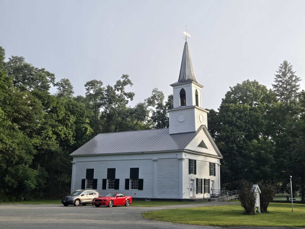
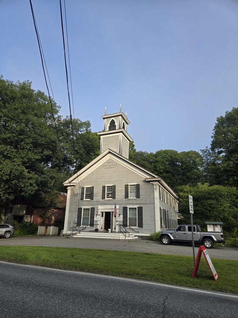
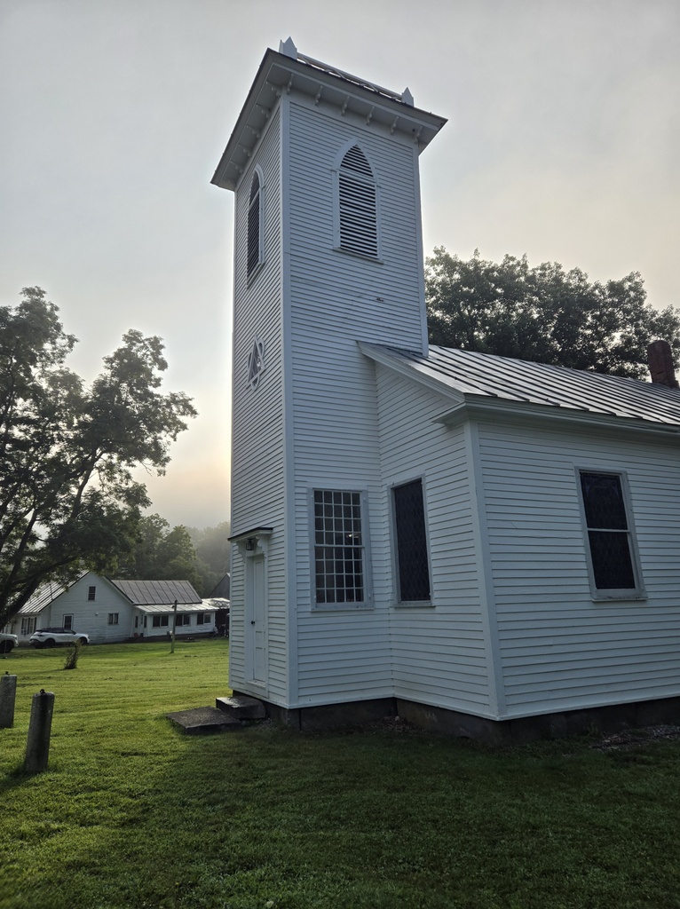
We had about 4 miles to ride to make it to South Royalton where we had brekkie. On the way there we rode through picturesque Royalton and past the Vermont Law School. There really isn’t much to these towns in terms of size, but they do have some nice old buildings and pretty grassy town common areas. We had targeted a coffee shop in South Royalton but they didn’t serve food so we hit Grandma’s Diner. We all had extra big meals knowing what was in store for us riding today.
We rode down river from South Royalton to our first challenge of the day, a super steep 4 mile climb out of the town of Sharon. Just to get us fully psyched for the climb a flagger stopped us at the bottom right where we could see the really steep opening quarter mile looming over us. They held us there for about 20 minutes. They were re-paving the uphill lane and it was closed so they had one-way traffic moving in the downhill lane. We started at the end of the cars going up and it seemed that they would hold traffic until we cleared their job site. We were only half right as they did hold the traffic but they did not hold the three project asphalt dump trucks. The first one passed us a too close while we were pushing hard to get out of everyone’s way. Yes, it is quite fun trying to sprint a mile uphill at 10% with fully loaded touring bikes. It was hard but at least the paving bunched up the traffic so we rode most of the rest of the climb traffic free, except for a couple bunches of cars. It turned out to be the hardest climb of the day, and most drama filled as well.
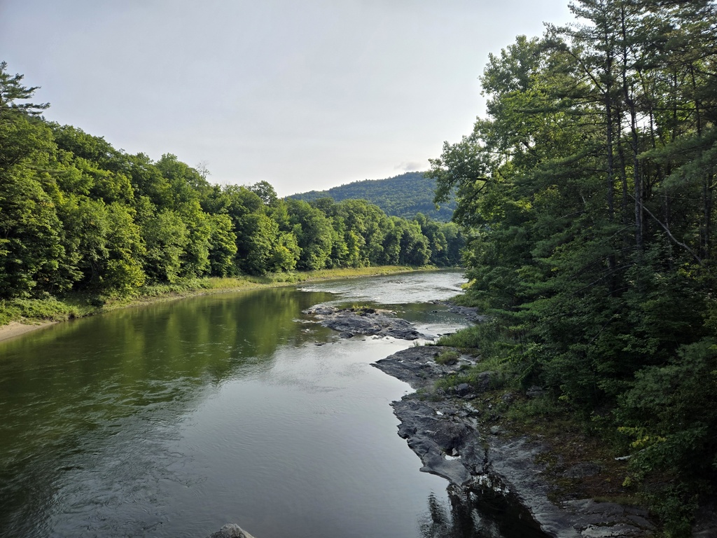
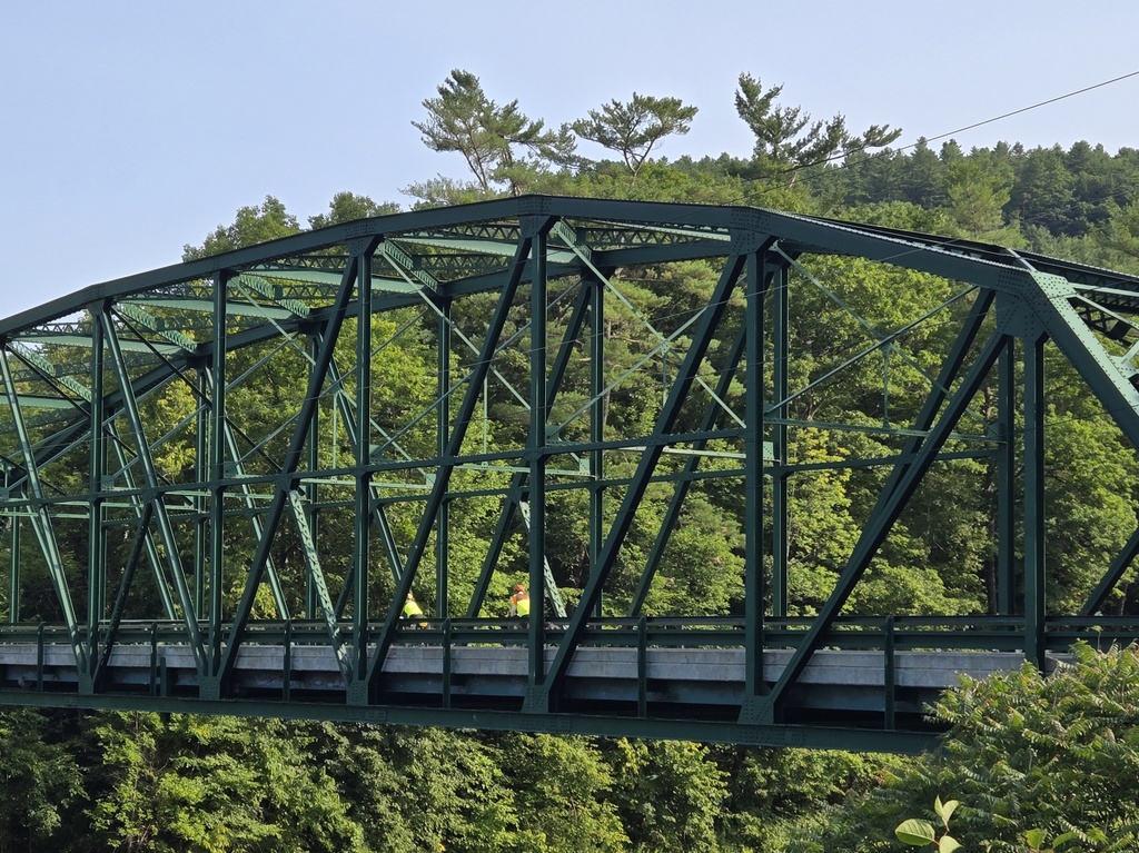
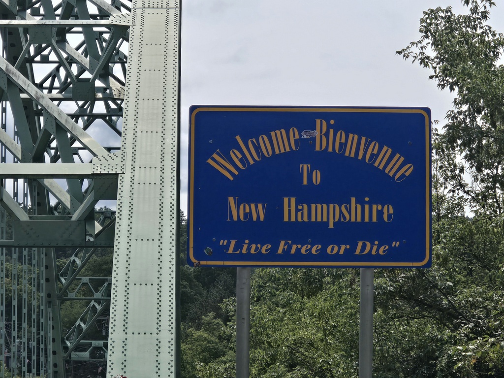
From the top of the first climb it was about 15 miles to the New Hampshire state line (our 10th or 11th state). Of course, given terrain of the day, there were a couple good climbs to get over before the border. We stopped for a cold drink at 33 miles, just before the border, and it was already almost 11:30. The hills really slowed us down on our loaded touring bikes. We’d made sandwiches to eat today just because we knew that stopping for food breaks would need to be less leisurely.

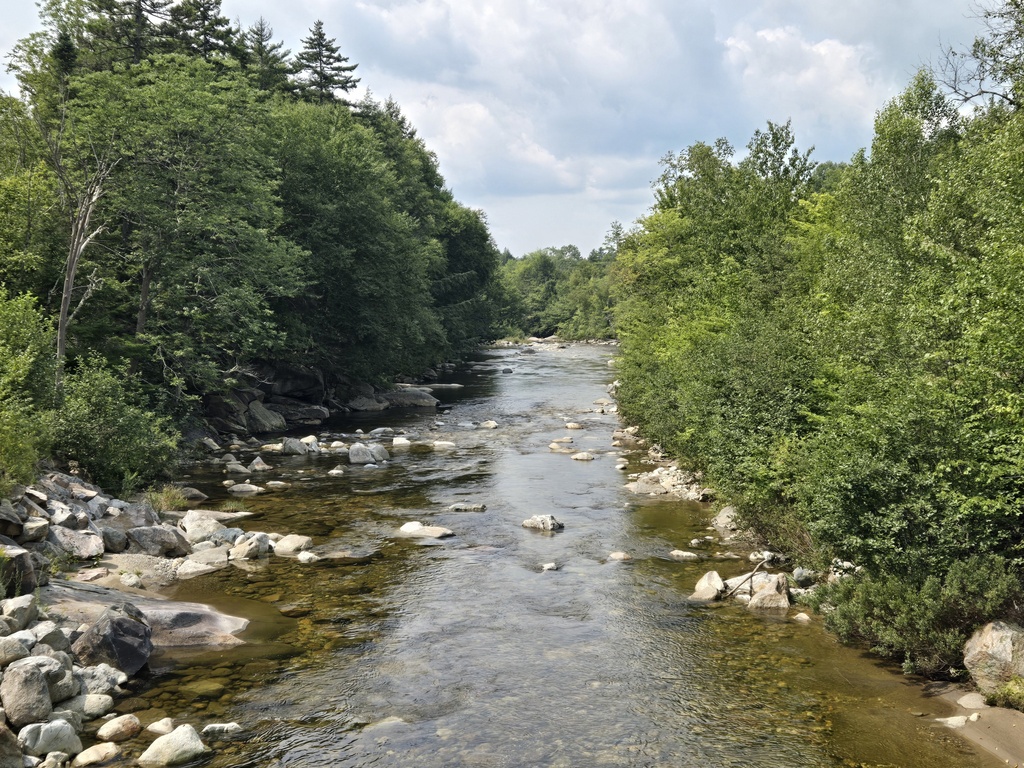
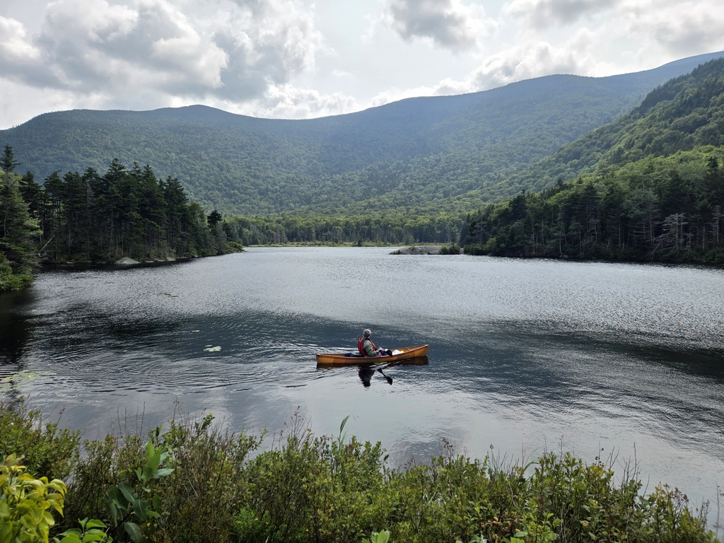
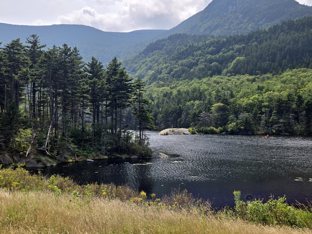
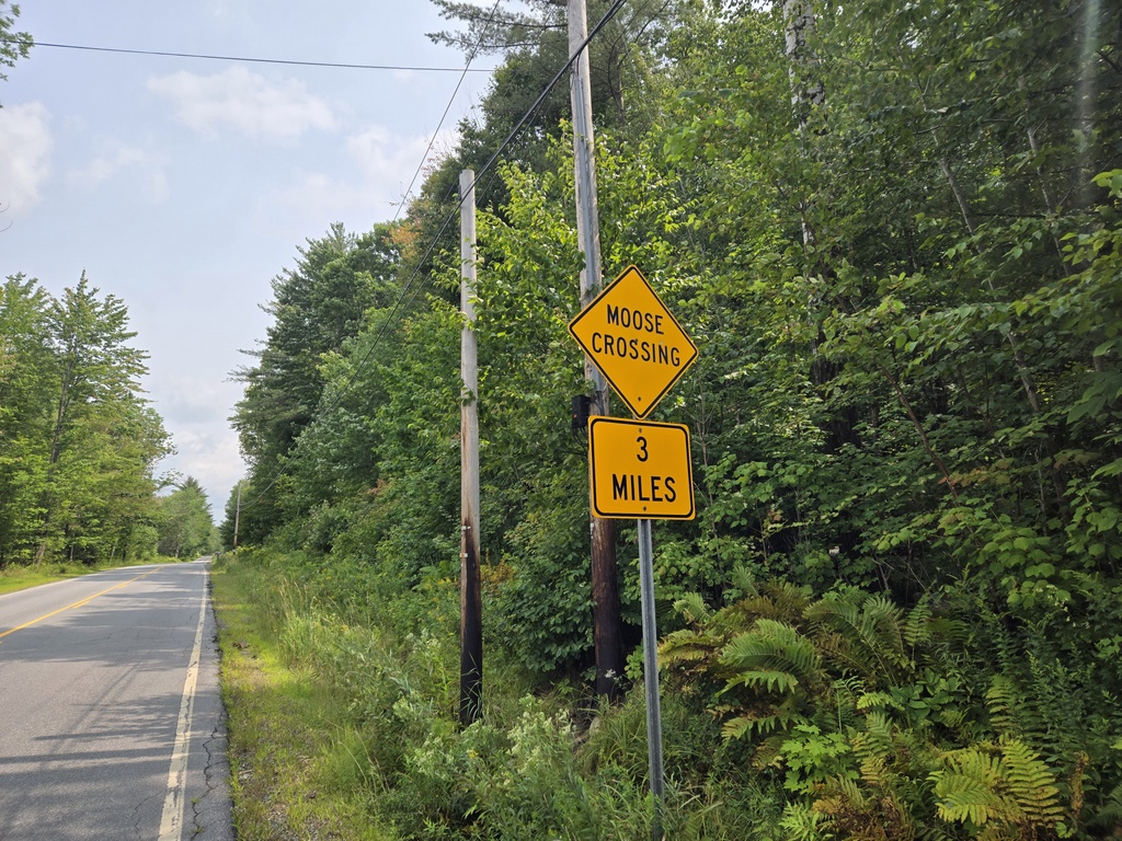
We had three good climbs after the border but they didn’t really line up with what we saw on our Komoot maps. It seemed like we had a lot more climbs than Komoot called out or at least that they were longer or more sustained. Our last two climbs took us up into the White Mountains and looked really tough on Komoot. They turned out to be hard but not as bad as they looked. We just chugged along and made good time. I took a bunch of photos on the climb and by the time Nancy and I had finished our snack and rugged up for the downhill, Chris had made it to the top as well. The three of us enjoyed the last ripper 6 mile downhill into North Woodstock.
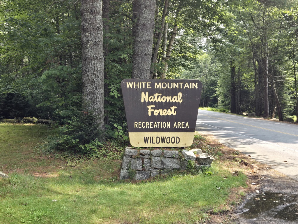

For the record, North Woodstock is nowhere near “the” Woodstock. North Woodstock is in New Hampshire. “The” Woodstock is in New York, not to be confused with Woodstock, VT or Woodstock, NH. To us, it seems like a lot of towns in the area have North or South sister towns, or even the same name as towns in neighbouring states. I’m sure folks get confused, we certainly have.
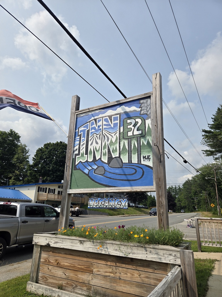
For dinner we had a pre-celebration celebration dinner at the Woodstock Inn. Yes, I know it should be called the North Woodstock Inn but how would we keep confusing the tourists if we named things after the town they were in? Anyway, the food and malted beverages were good. We should be well fortified for the ride tomorrow.
Tomorrow we have a very short day to Freyburg. We were going to camp but Nancy and Chris liked the idea of staying in a New England Inn. Being in the middle of town gives us more food options plus and early start for the following day into Portland Maine.

Welcome to New Hampshire. I have lived here all my 69+ years and wouldn’t want to live anywhere else!
Seems like we’ll have make another trip here. Too much to see in so little time!
New Hampshire looks picturesque. I suspect you are getting very excited to be nearing the end of “Chris Crossing”. Enjoy the last two days.
For sure we need another trip through these parts, lots to see and explore.
Well done! I hope the next 2 days are relaxing with picturesque views and interesting encounters. I can’t believe you’re almost there!
It is weird to be so close. One more day, stick with the process, pack the same, ride carefully and get there safely.
Wow..the adventure is almost over! I(and my neighbors) am so glad I got to be part of the journey!
Couldn’t have done it without Aunty Lynn!!!!
It looks beautiful there! Wow, just two days left! Enjoy!!!
Northern New England is worth a much longer trip for sure. We are just scratching the surface.